
Pomoca topographic map
Interactive map
Click on the map to display elevation.
About this map
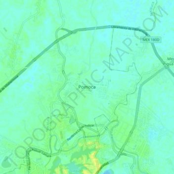
Name: Pomoca topographic map, elevation, terrain.
Location: Pomoca, Nacajuca, Tabasco, 86029, México (18.01004 -92.96555 18.09004 -92.88555)
Average elevation: 23 ft
Minimum elevation: 7 ft
Maximum elevation: 59 ft