
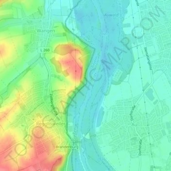
Gießen topographic map
Interactive map
Click on the map to display elevation.
About this map
Name: Gießen topographic map, elevation, terrain.
Location: Gießen, Auwald, Landkreis Neu-Ulm, Bavière, 89165, Allemagne (48.24285 10.06264 48.25336 10.07086)
Average elevation: 1,690 ft
Minimum elevation: 1,617 ft
Maximum elevation: 1,847 ft