
Chacras de Dolores topographic map
Interactive map
Click on the map to display elevation.
About this map
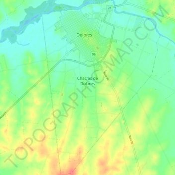
Name: Chacras de Dolores topographic map, elevation, terrain.
Location: Chacras de Dolores, Soriano, 75100, Uruguay (-33.59389 -58.24026 -33.51434 -58.17563)
Average elevation: 69 ft
Minimum elevation: -10 ft
Maximum elevation: 187 ft