
Negev topographic map
Click on the map to display elevation.
About this map
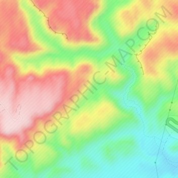
Name: Negev topographic map, elevation, terrain.
Average elevation: 1,736 ft
Minimum elevation: 1,283 ft
Maximum elevation: 2,195 ft
Other topographic maps
Click on a map to view its topography, its elevation and its terrain.
Midreshet Ben-Gurion
Israel > South District > Ramat Negev Regional Council
Average elevation: 1,473 ft