
Ighil Ali topographic map
Interactive map
Click on the map to display elevation.
About this map
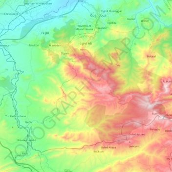
Name: Ighil Ali topographic map, elevation, terrain.
Location: Ighil Ali, Daïra Ighil Ali, Béjaïa, 06014, Algérie (36.21761 4.38948 36.36426 4.62447)
Average elevation: 2,064 ft
Minimum elevation: 705 ft
Maximum elevation: 4,291 ft