
Khezara topographic map
Interactive map
Click on the map to display elevation.
About this map
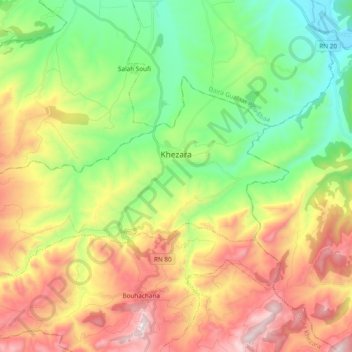
Name: Khezara topographic map, elevation, terrain.
Location: Khezara, Daïra Khezara, Guelma, 24016, Algérie (36.31466 7.39830 36.40226 7.58880)
Average elevation: 1,716 ft
Minimum elevation: 384 ft
Maximum elevation: 3,635 ft