
Sieradz topographic map
Interactive map
Click on the map to display elevation.
About this map
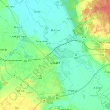
Name: Sieradz topographic map, elevation, terrain.
Location: Sieradz, Sieradz County, Łódzkie Voivodship, 98-200, Poland (51.56213 18.65183 51.64132 18.82493)
Average elevation: 459 ft
Minimum elevation: 407 ft
Maximum elevation: 587 ft