
Swat topographic map
Interactive map
Click on the map to display elevation.
About this map
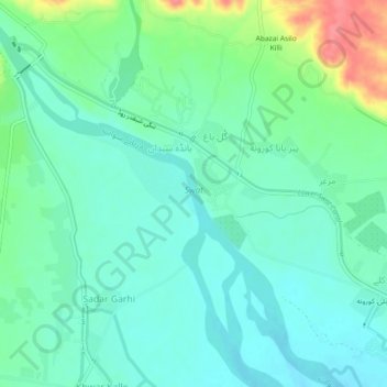
Name: Swat topographic map, elevation, terrain.
Location: Swat, بِجلۍ کورونه, بانڈہ سیداں, Khyber Pakhtunkhwa, Pakistan (34.29994 71.56181 34.33764 71.60684)
Average elevation: 1,214 ft
Minimum elevation: 1,152 ft
Maximum elevation: 1,388 ft