
Tikhi topographic map
Interactive map
Click on the map to display elevation.
About this map
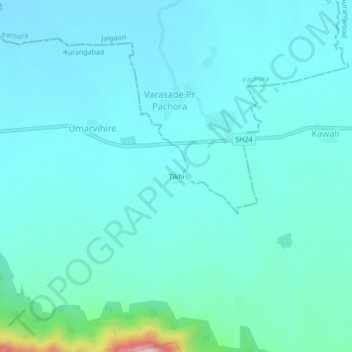
Name: Tikhi topographic map, elevation, terrain.
Location: Tikhi, Umarvihire, Soegaon, Aurangabad, Maharashtra, India (20.50794 75.46591 20.54794 75.50591)
Average elevation: 1,214 ft
Minimum elevation: 1,053 ft
Maximum elevation: 2,323 ft