
El Carrilón (La Rebollá) topographic map
Interactive map
Click on the map to display elevation.
About this map
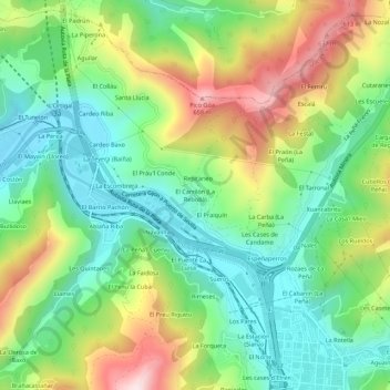
Name: El Carrilón (La Rebollá) topographic map, elevation, terrain.
Average elevation: 1,155 ft
Minimum elevation: 551 ft
Maximum elevation: 2,211 ft