
Boukhadra topographic map
Interactive map
Click on the map to display elevation.
About this map
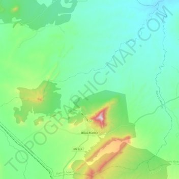
Name: Boukhadra topographic map, elevation, terrain.
Location: Boukhadra, Daïra El Aouinet, Tébessa, Algérie (35.69789 7.90678 35.88546 8.14474)
Average elevation: 2,313 ft
Minimum elevation: 1,660 ft
Maximum elevation: 4,675 ft