
Santa Ana topographic map
Interactive map
Click on the map to display elevation.
About this map
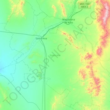
Name: Santa Ana topographic map, elevation, terrain.
Location: Santa Ana, Sonora, 84600, México (30.18665 -111.33298 30.72897 -110.79485)
Average elevation: 2,792 ft
Minimum elevation: 1,860 ft
Maximum elevation: 6,693 ft