
Xian de Quannan topographic map
Interactive map
Click on the map to display elevation.
About this map
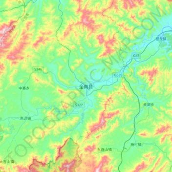
Name: Xian de Quannan topographic map, elevation, terrain.
Location: Xian de Quannan, Ganzhou, Jiangxi, Chine (24.58535 114.36543 24.90535 114.68543)
Average elevation: 1,453 ft
Minimum elevation: 709 ft
Maximum elevation: 3,225 ft