
Gargantilla topographic map
Interactive map
Click on the map to display elevation.
About this map
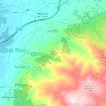
Name: Gargantilla topographic map, elevation, terrain.
Location: Gargantilla, Valle del Ambroz, Cáceres, Estrémadure, Espagne (40.21171 -5.94856 40.25401 -5.85322)
Average elevation: 2,910 ft
Minimum elevation: 1,421 ft
Maximum elevation: 5,955 ft