
Clodra topographic map
Interactive map
Click on the map to display elevation.
About this map
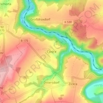
Name: Clodra topographic map, elevation, terrain.
Location: Clodra, Berga/Elster, Greiz, Thüringen, 07980, Deutschland (50.73834 12.09873 50.77834 12.13873)
Average elevation: 1,007 ft
Minimum elevation: 692 ft
Maximum elevation: 1,253 ft