
Alía topographic map
Interactive map
Click on the map to display elevation.
About this map
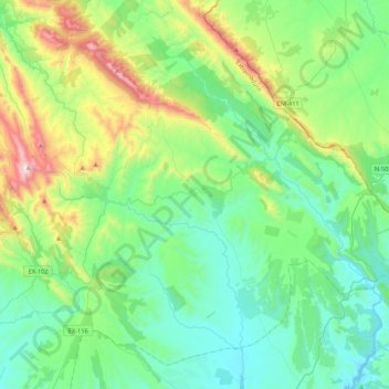
Name: Alía topographic map, elevation, terrain.
Location: Alía, Las Villuercas, Cáceres, Extremadura, Spanje (39.30182 -5.38002 39.59202 -4.95251)
Average elevation: 2,110 ft
Minimum elevation: 1,155 ft
Maximum elevation: 5,200 ft