
Trenton topographic map
Interactive map
Click on the map to display elevation.
About this map
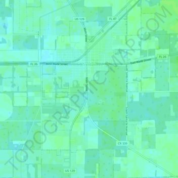
Name: Trenton topographic map, elevation, terrain.
Location: Trenton, Gilchrist County, Florida, 32693, United States (29.58429 -82.83162 29.62972 -82.79394)
Average elevation: 59 ft
Minimum elevation: 46 ft
Maximum elevation: 72 ft
Other topographic maps
Click on a map to view its topography, its elevation and its terrain.
Little Lake City
United States > Florida > Gilchrist County
Little Lake City, Gilchrist County, Florida, United States
Average elevation: 46 ft
Bell
United States > Florida > Gilchrist County
Bell, Gilchrist County, Florida, 32619, United States
Average elevation: 66 ft