
Isla Pucú topographic map
Interactive map
Click on the map to display elevation.
About this map
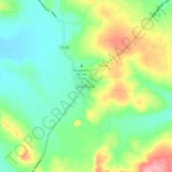
Name: Isla Pucú topographic map, elevation, terrain.
Location: Isla Pucú, Cordillera, Región Oriental, Paraguay (-25.34840 -56.93940 -25.26840 -56.85940)
Average elevation: 486 ft
Minimum elevation: 328 ft
Maximum elevation: 794 ft