
Rossbrand topographic map
Interactive map
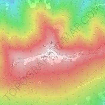
Click on the map to display elevation.
About this map
Name: Rossbrand topographic map, elevation, terrain.
Average elevation: 4,879 ft
Minimum elevation: 3,504 ft
Maximum elevation: 5,778 ft
Rossbrand von der Gasselhöhe