
Mount Isarog topographic map
Click on the map to display elevation.
Mount Isarog
Isarog is an active stratovolcano located in the province of Camarines Sur, Philippines, on the island of Luzon. The mountain has active fumaroles and hot springs. It has an elevation of 2,000 m (6,600 ft) above mean sea level.
About this map
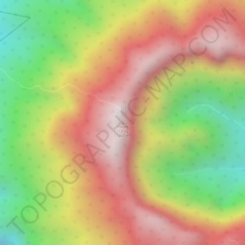
Name: Mount Isarog topographic map, elevation, terrain.
Location: Mount Isarog, Camarines Sur, Bicol Region, Philippines (13.65817 123.37295 13.65827 123.37305)
Average elevation: 5,135 ft
Minimum elevation: 3,484 ft
Maximum elevation: 6,430 ft