
Pech River topographic map
Interactive map
Click on the map to display elevation.
About this map
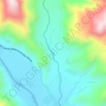
Name: Pech River topographic map, elevation, terrain.
Location: Pech River, Sharlo, Watapur, Kunar Province, Afghanistan (34.92576 71.08763 34.95317 71.09358)
Average elevation: 3,379 ft
Minimum elevation: 2,858 ft
Maximum elevation: 4,783 ft