
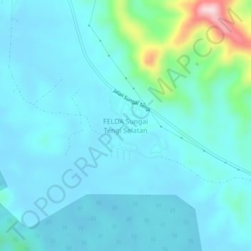
FELDA Sungai Tengi Selatan topographic map
Interactive map
Click on the map to display elevation.
About this map
Name: FELDA Sungai Tengi Selatan topographic map, elevation, terrain.
Location: FELDA Sungai Tengi Selatan, Hulu Selangor, Selangor, Malaysia (3.54587 101.41415 3.58587 101.45415)
Average elevation: 180 ft
Minimum elevation: 36 ft
Maximum elevation: 1,083 ft