
Tanggerang topographic map
Interactive map
Click on the map to display elevation.
About this map
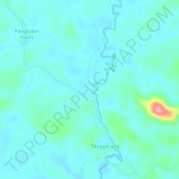
Name: Tanggerang topographic map, elevation, terrain.
Location: Tanggerang, Jelai Hulu, Ketapang, West Kalimantan, Indonesia (-2.00858 110.73279 -1.96858 110.77279)
Average elevation: 167 ft
Minimum elevation: 95 ft
Maximum elevation: 568 ft