
Mumbi topographic map
Interactive map
Click on the map to display elevation.
About this map
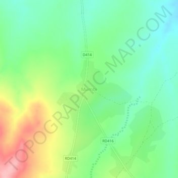
Name: Mumbi topographic map, elevation, terrain.
Location: Mumbi, Petauke District, Eastern Province, Zambia (-14.49559 31.29143 -14.45559 31.33143)
Average elevation: 3,337 ft
Minimum elevation: 3,173 ft
Maximum elevation: 3,622 ft