
Côte Barrier topographic map
Interactive map
Click on the map to display elevation.
About this map
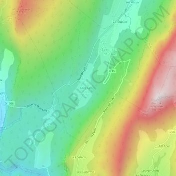
Name: Côte Barrier topographic map, elevation, terrain.
Average elevation: 2,851 ft
Minimum elevation: 1,398 ft
Maximum elevation: 5,217 ft
Other topographic maps
Click on a map to view its topography, its elevation and its terrain.
Les Héritiers
France > Auvergne-Rhône-Alpes > Savoie > Saint-Jean-de-Couz
Les Héritiers, Saint-Jean-de-Couz, Chambéry, Savoie, Auvergne-Rhône-Alpes, France métropolitaine, 73160, France
Average elevation: 3,087 ft
Col de Couz
France > Auvergne-Rhône-Alpes > Savoie > Saint-Jean-de-Couz
Col de Couz, Saint-Jean-de-Couz, Chambéry, Savoie, Auvergne-Rhône-Alpes, France métropolitaine, 73160, France
Average elevation: 2,648 ft