
Waterbury topographic map
Interactive map
Click on the map to display elevation.
About this map
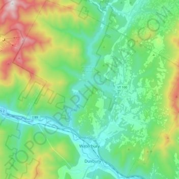
Name: Waterbury topographic map, elevation, terrain.
Location: Waterbury, Washington County, Vermont, USA (44.31293 -72.83983 44.45152 -72.65434)
Average elevation: 1,253 ft
Minimum elevation: 328 ft
Maximum elevation: 3,678 ft