
Ginger topographic map
Interactive map
Click on the map to display elevation.
About this map
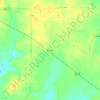
Name: Ginger topographic map, elevation, terrain.
Location: Ginger, Rains County, Texas, 75440, United States (32.82985 -95.73968 32.86985 -95.69968)
Average elevation: 469 ft
Minimum elevation: 420 ft
Maximum elevation: 509 ft
Other topographic maps
Click on a map to view its topography, its elevation and its terrain.
Point
United States > Texas > Rains County
Point, Rains County, Texas, United States
Average elevation: 509 ft
Lake Tawakoni
United States > Texas > Rains County > East Tawakoni
Lake Tawakoni, East Tawakoni, Rains County, Texas, United States
Average elevation: 466 ft