
Condofuri topographic map
Interactive map
Click on the map to display elevation.
About this map
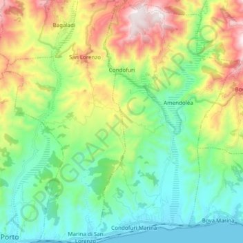
Name: Condofuri topographic map, elevation, terrain.
Location: Condofuri, Reggio di Calabria, Calabria, Italia (37.91939 15.84044 38.03869 15.93267)
Average elevation: 1,188 ft
Minimum elevation: -3 ft
Maximum elevation: 3,727 ft