
Sankt Michael im Lungau topographic map
Interactive map
Click on the map to display elevation.
About this map
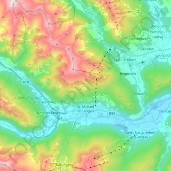
Name: Sankt Michael im Lungau topographic map, elevation, terrain.
Average elevation: 4,948 ft
Minimum elevation: 3,337 ft
Maximum elevation: 8,310 ft