
Luján topographic map
Interactive map
Click on the map to display elevation.
About this map
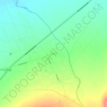
Name: Luján topographic map, elevation, terrain.
Location: Luján, Municipio de Luján, Ayacucho, San Luis, Argentina (-32.38472 -65.95305 -32.34472 -65.91305)
Average elevation: 1,969 ft
Minimum elevation: 1,870 ft
Maximum elevation: 2,149 ft