
Tauche topographic map
Interactive map
Click on the map to display elevation.
About this map
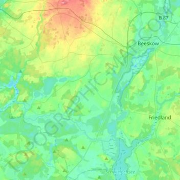
Name: Tauche topographic map, elevation, terrain.
Location: Tauche, Oder-Spree, Brandenburg, Deutschland (52.04874 14.00555 52.21136 14.21099)
Average elevation: 184 ft
Minimum elevation: 115 ft
Maximum elevation: 381 ft