
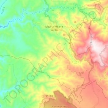
Meana/Meana Sardo topographic map
Interactive map
Click on the map to display elevation.
About this map
Name: Meana/Meana Sardo topographic map, elevation, terrain.
Location: Meana/Meana Sardo, Nuoro, Sardinia, 08030, Italy (39.86777 8.98343 39.96815 9.12650)
Average elevation: 1,893 ft
Minimum elevation: 735 ft
Maximum elevation: 3,556 ft