
Imishli topographic map
Interactive map
Click on the map to display elevation.
About this map
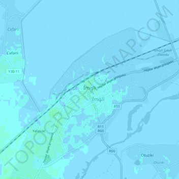
Name: Imishli topographic map, elevation, terrain.
Location: Imishli, Imishli District, Azerbaijan (39.84269 48.02551 39.89934 48.11307)
Average elevation: -3 ft
Minimum elevation: -16 ft
Maximum elevation: 13 ft