
Pilton topographic map
Interactive map
Click on the map to display elevation.
About this map
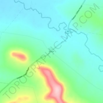
Name: Pilton topographic map, elevation, terrain.
Location: Pilton, Warwick, Queensland, 4370, Australia (-27.88668 152.02854 -27.84668 152.06854)
Average elevation: 1,752 ft
Minimum elevation: 1,562 ft
Maximum elevation: 2,316 ft