
Berghem topographic map
Interactive map
Click on the map to display elevation.
About this map
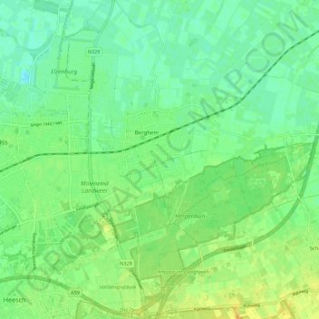
Name: Berghem topographic map, elevation, terrain.
Location: Berghem, Oss, North Brabant, Netherlands, The Netherlands (51.73106 5.55257 51.79909 5.60573)
Average elevation: 33 ft
Minimum elevation: -7 ft
Maximum elevation: 72 ft
Other topographic maps
Click on a map to view its topography, its elevation and its terrain.
Oijen
The Netherlands > North Brabant > Oss
Oijen, Oss, North Brabant, Netherlands, The Netherlands
Average elevation: 20 ft