
Crewe topographic map
Interactive map
Click on the map to display elevation.
About this map
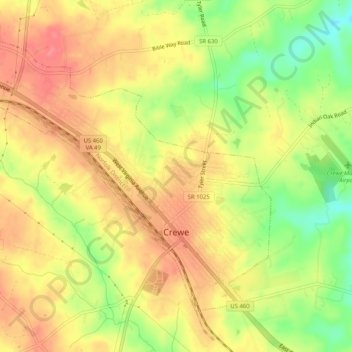
Name: Crewe topographic map, elevation, terrain.
Location: Crewe, Nottoway County, Virginia, United States of America (37.16406 -78.16067 37.19522 -78.10956)
Average elevation: 440 ft
Minimum elevation: 299 ft
Maximum elevation: 531 ft