
30 de Agosto topographic map
Interactive map
Click on the map to display elevation.
About this map
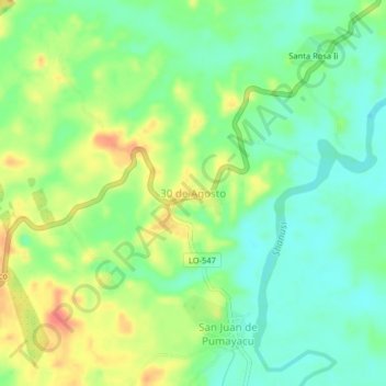
Name: 30 de Agosto topographic map, elevation, terrain.
Location: 30 de Agosto, Alto Amazonas, Loreto, Perú (-5.99297 -76.20026 -5.95297 -76.16026)
Average elevation: 495 ft
Minimum elevation: 420 ft
Maximum elevation: 607 ft