
Rondo topographic map
Interactive map
Click on the map to display elevation.
About this map
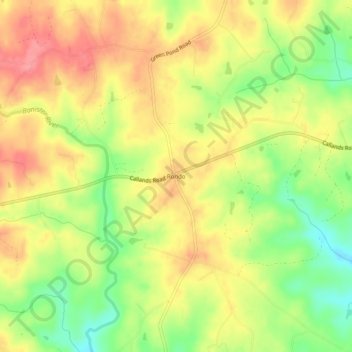
Name: Rondo topographic map, elevation, terrain.
Location: Rondo, Pittsylvania County, Virginia, USA (36.80847 -79.55170 36.84847 -79.51170)
Average elevation: 879 ft
Minimum elevation: 728 ft
Maximum elevation: 997 ft