
Horssen topographic map
Interactive map
Click on the map to display elevation.
About this map
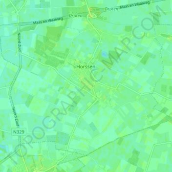
Name: Horssen topographic map, elevation, terrain.
Location: Horssen, Druten, Gelderland, Nederland (51.83627 5.57727 51.86939 5.64320)
Average elevation: 23 ft
Minimum elevation: 7 ft
Maximum elevation: 36 ft
Other topographic maps
Click on a map to view its topography, its elevation and its terrain.
Puiflijk
Nederland > Gelderland > Druten
Puiflijk, Druten, Gelderland, Nederland
Average elevation: 23 ft
Afferden
Nederland > Gelderland > Druten
Afferden, Druten, Gelderland, Nederland
Average elevation: 26 ft