
Port à Sec du Cap d'Agde topographic map
Interactive map
Click on the map to display elevation.
About this map
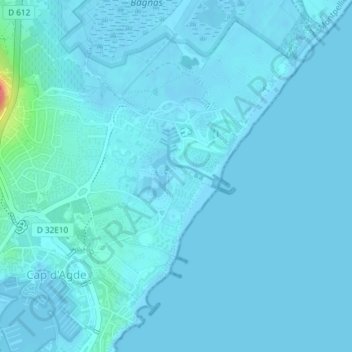
Name: Port à Sec du Cap d'Agde topographic map, elevation, terrain.
Average elevation: 13 ft
Minimum elevation: -7 ft
Maximum elevation: 187 ft