
Graou topographic map
Interactive map
Click on the map to display elevation.
About this map
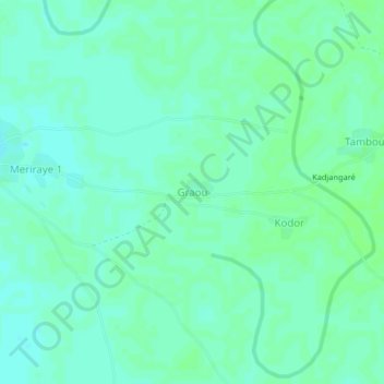
Name: Graou topographic map, elevation, terrain.
Location: Graou, Salamat, Tchad (11.36237 20.51538 11.40237 20.55538)
Average elevation: 1,473 ft
Minimum elevation: 1,460 ft
Maximum elevation: 1,483 ft