
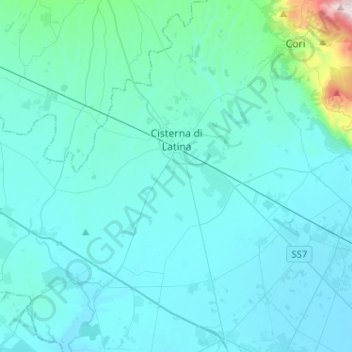
Cisterna di Latina topographic map
Interactive map
Click on the map to display elevation.
About this map
Name: Cisterna di Latina topographic map, elevation, terrain.
Location: Cisterna di Latina, Latina, Lazio, 04012, Italy (41.47430 12.75112 41.66642 12.95741)
Average elevation: 328 ft
Minimum elevation: 26 ft
Maximum elevation: 3,914 ft