
West Bend topographic map
Interactive map
Click on the map to display elevation.
About this map
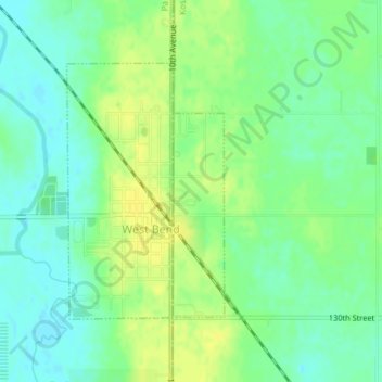
Name: West Bend topographic map, elevation, terrain.
Location: West Bend, Kossuth County, Iowa, United States (42.95137 -94.45314 42.96949 -94.43791)
Average elevation: 1,181 ft
Minimum elevation: 1,148 ft
Maximum elevation: 1,211 ft