
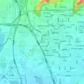
西关村 topographic map
Interactive map
Click on the map to display elevation.
About this map
Name: 西关村 topographic map, elevation, terrain.
Location: 西关村, 昌平区, 北京市, 102200, 中国 (40.19514 116.19694 40.23514 116.23694)
Average elevation: 233 ft
Minimum elevation: 174 ft
Maximum elevation: 554 ft