
La Plaine topographic map
Interactive map
Click on the map to display elevation.
About this map
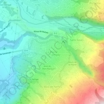
Name: La Plaine topographic map, elevation, terrain.
Location: La Plaine, Saint-Paul, Réunion, 97411, Frankreich (-21.00161 55.30687 -20.96161 55.34687)
Average elevation: 801 ft
Minimum elevation: 16 ft
Maximum elevation: 2,546 ft