
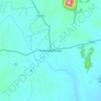
Siyambalanduwa topographic map
Interactive map
Click on the map to display elevation.
About this map
Name: Siyambalanduwa topographic map, elevation, terrain.
Location: Siyambalanduwa, Monaragala District, Uva Province, Sri Lanka (6.86640 81.51921 6.94640 81.59921)
Average elevation: 266 ft
Minimum elevation: 148 ft
Maximum elevation: 1,375 ft