
Lac des Cèdres topographic map
Interactive map
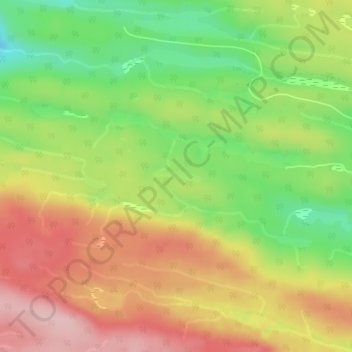
Click on the map to display elevation.
About this map
Name: Lac des Cèdres topographic map, elevation, terrain.
Average elevation: 1,007 ft
Minimum elevation: 666 ft
Maximum elevation: 1,335 ft
Other topographic maps
Click on a map to view its topography, its elevation and its terrain.
Lac Labrecque
Canada > Québec > La Côte-de-Gaspé > Cloridorme
Lac Labrecque, Cloridorme, La Côte-de-Gaspé, Gaspésie–Îles-de-la-Madeleine, Québec, Canada
Average elevation: 1,079 ft