
Ksar El Boukhari ⵇⵚⴻⵔ ⵍⴱⵓⵅⴰⵔⵉ قصر البخاري topographic map
Interactive map
Click on the map to display elevation.
About this map
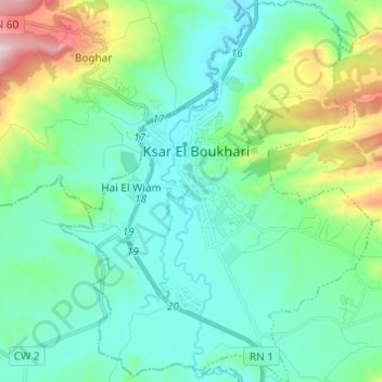
Name: Ksar El Boukhari ⵇⵚⴻⵔ ⵍⴱⵓⵅⴰⵔⵉ قصر البخاري topographic map, elevation, terrain.
Average elevation: 2,333 ft
Minimum elevation: 1,909 ft
Maximum elevation: 3,832 ft