
Kadıköy topographic map
Interactive map
Click on the map to display elevation.
About this map
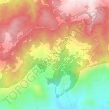
Name: Kadıköy topographic map, elevation, terrain.
Location: Kadıköy, Pamukova, Sakarya, Marmara Region, Turkey (40.52097 30.09043 40.56097 30.13043)
Average elevation: 2,254 ft
Minimum elevation: 689 ft
Maximum elevation: 3,560 ft