
Zarumilla topographic map
Interactive map
Click on the map to display elevation.
About this map
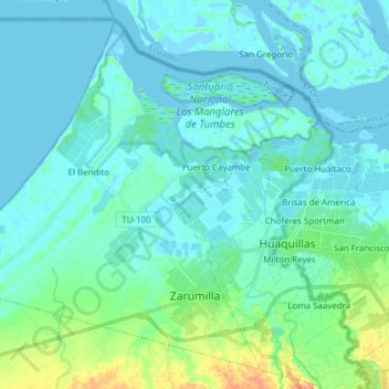
Name: Zarumilla topographic map, elevation, terrain.
Location: Zarumilla, Distrito de Zarumilla, Tumbes, 24151, Perú (-3.52961 -80.37876 -3.39226 -80.22610)
Average elevation: 20 ft
Minimum elevation: -16 ft
Maximum elevation: 115 ft